Our journey
How it all began
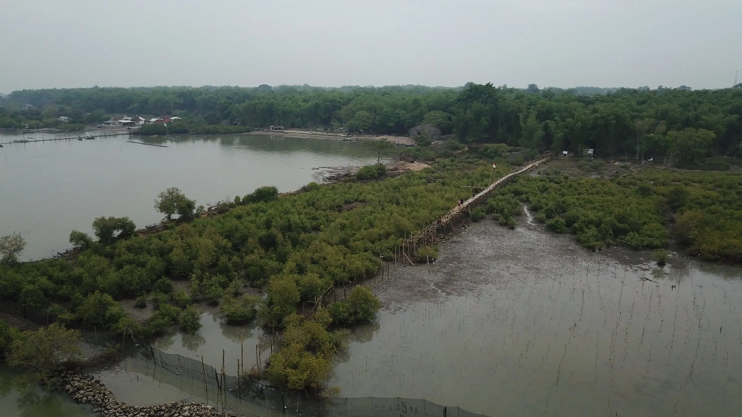
Coastal erosion turned the aquaculture ponds of Tanjung Widoro into mud. Earlier plantings washed away, so in 2018 restoration started again with pioneer species and local fishers. Today the restored forest covers more than seven hectares and has become a place where schools, researchers and visitors learn about the coast.
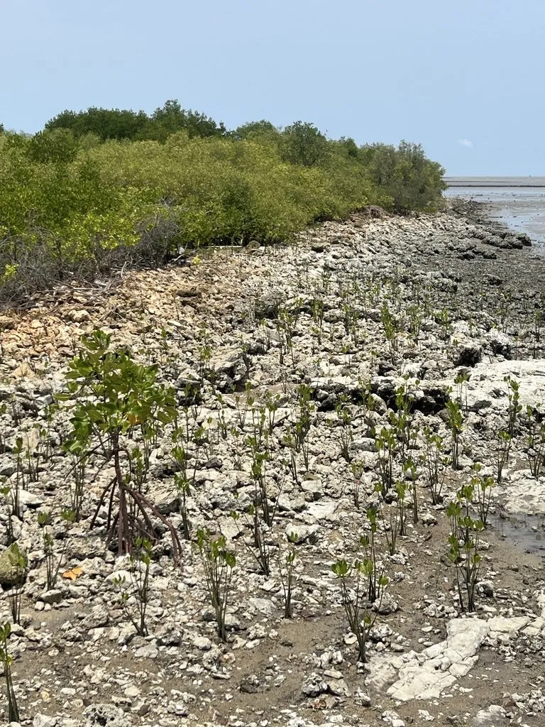
Phase 1 · Before 2018
An eroding shore
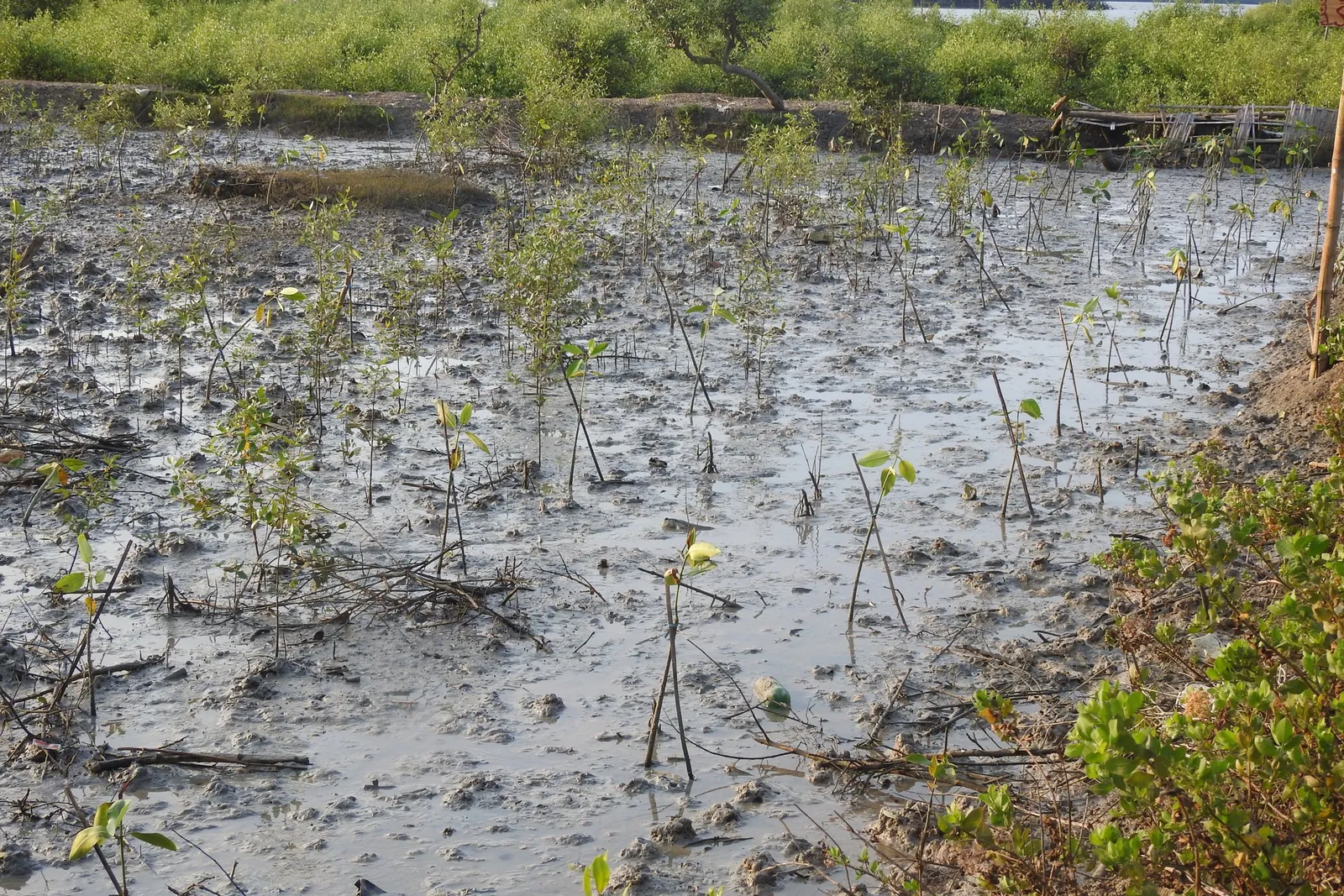
The Tanjung Widoro coast used to be lined with aquaculture ponds. Coastal erosion wore down their dykes until only mud and rock were left, and the ponds could no longer be farmed.
-
1999–2013
About 190 hectares of the village coastline were lost to erosion.
-
2009–2015
Several mangrove plantings were washed away by waves, because the species planted were not pioneers.
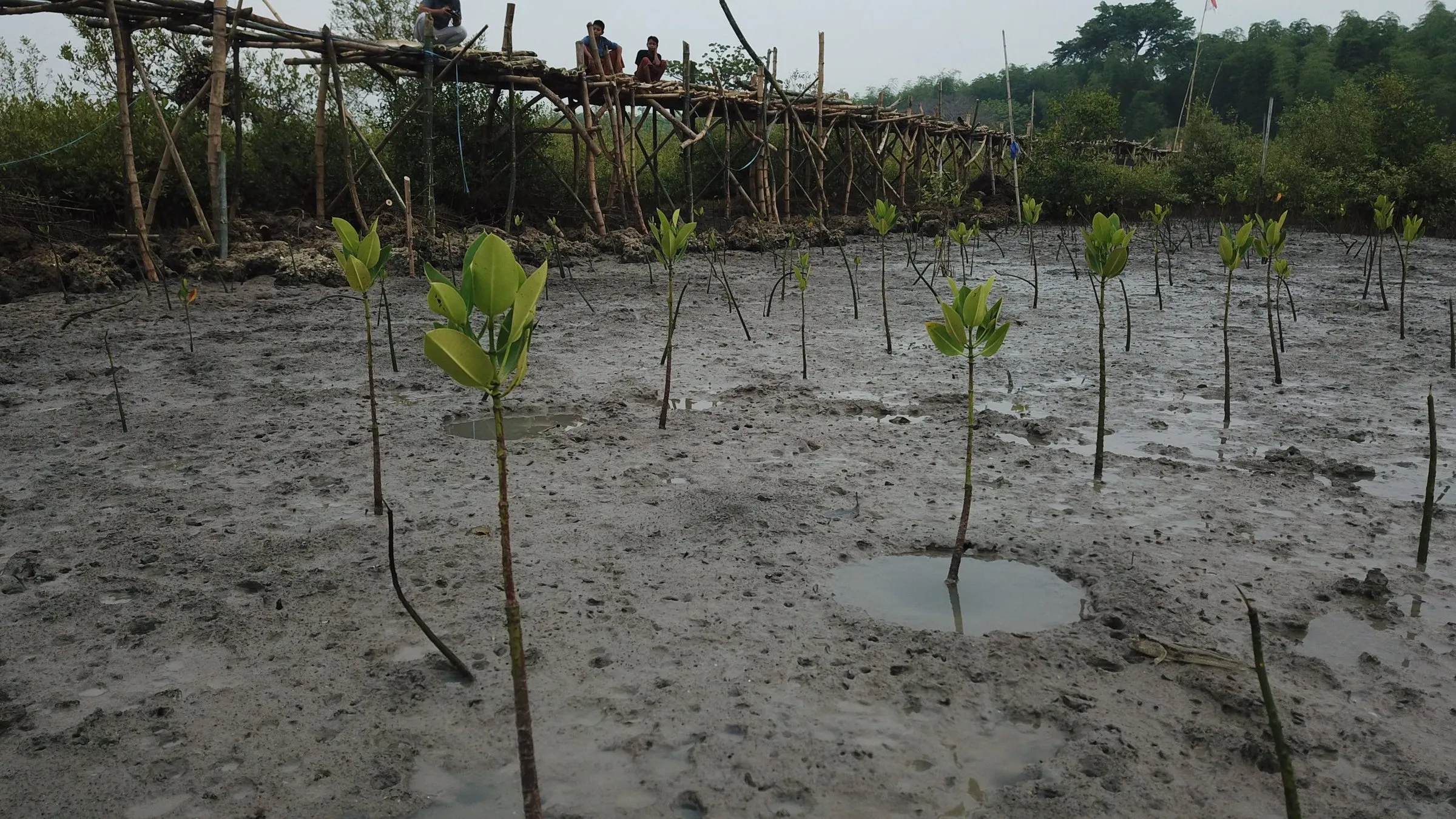
Phase 2 · 2018–2020
Starting the restoration
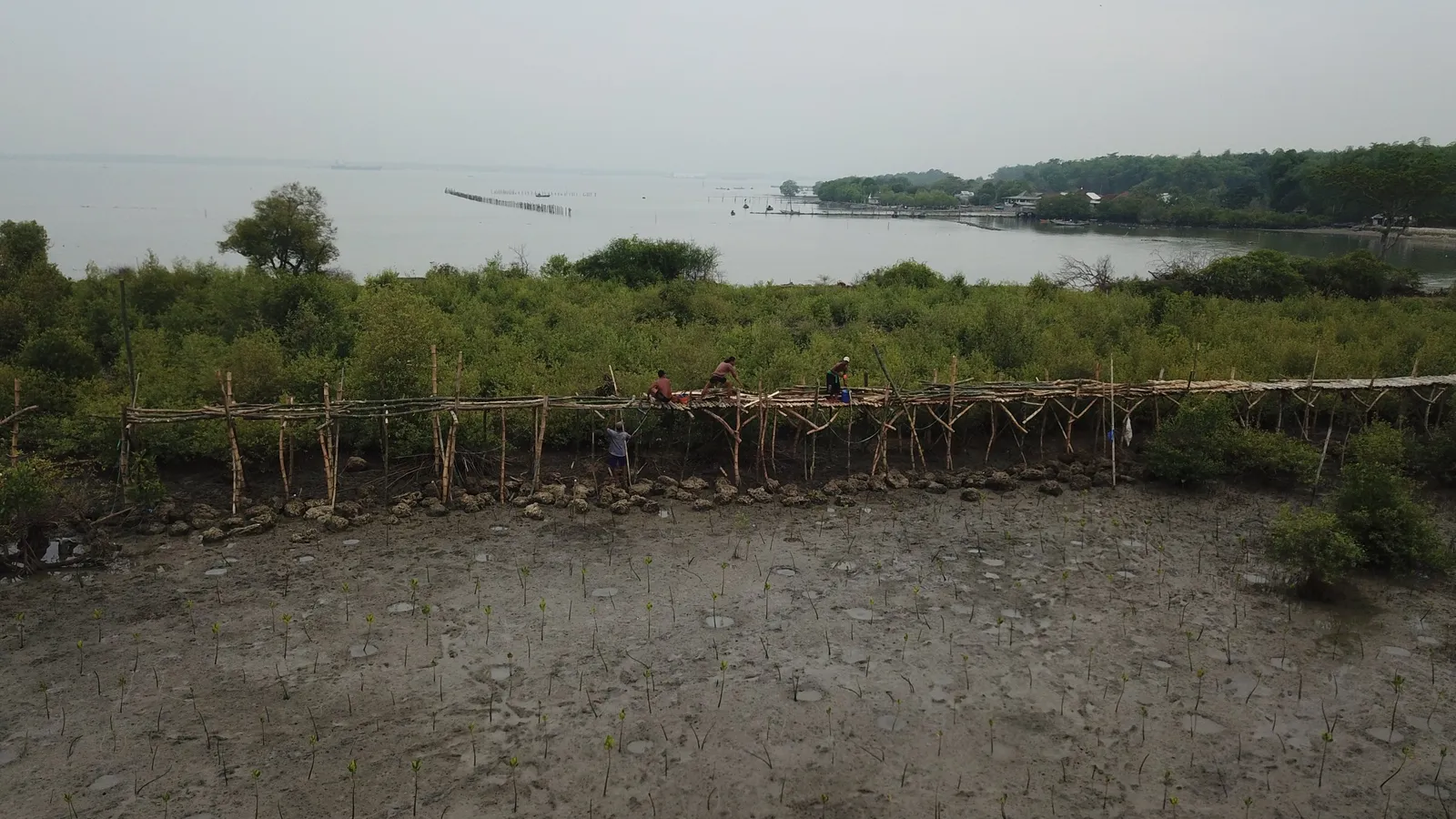
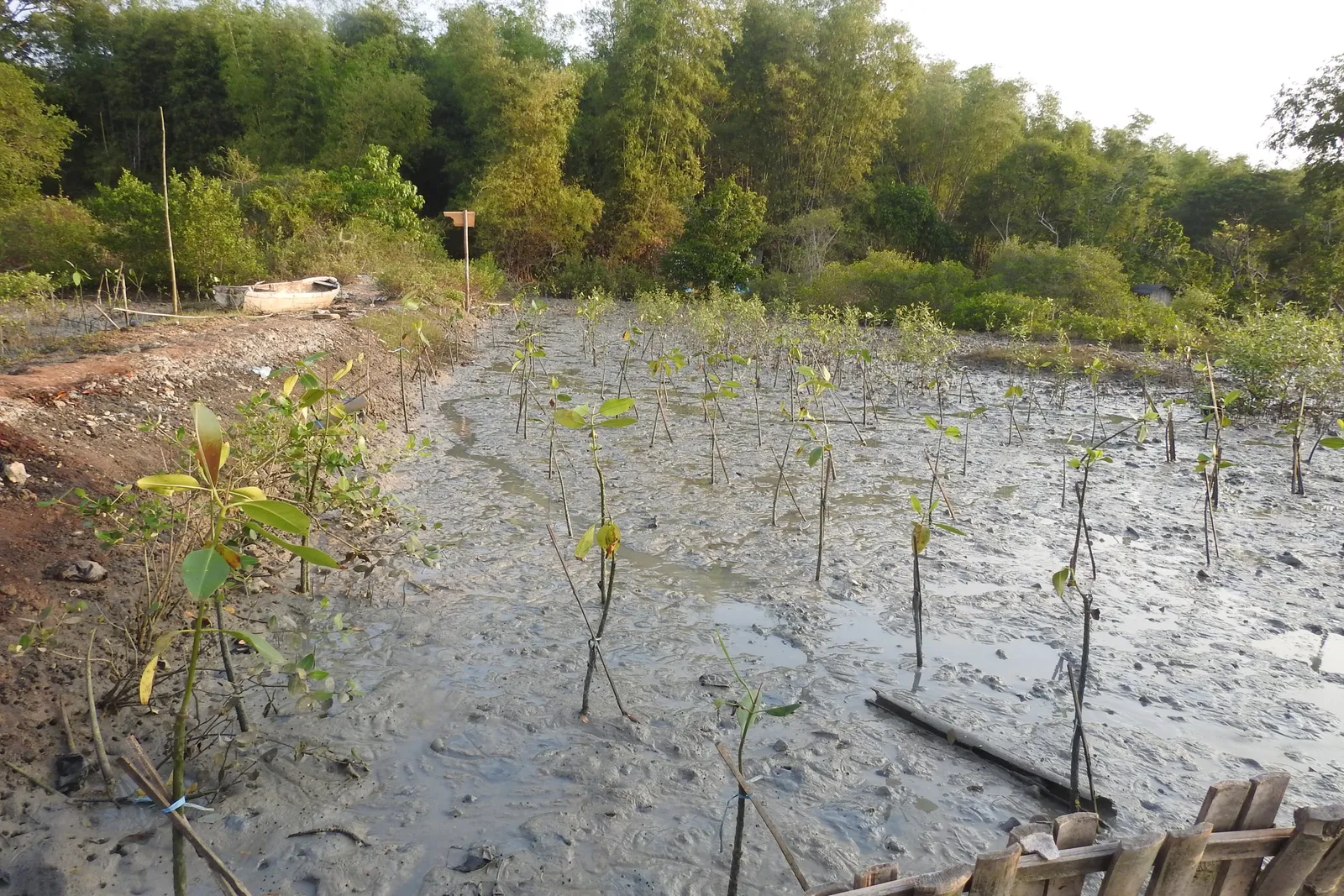
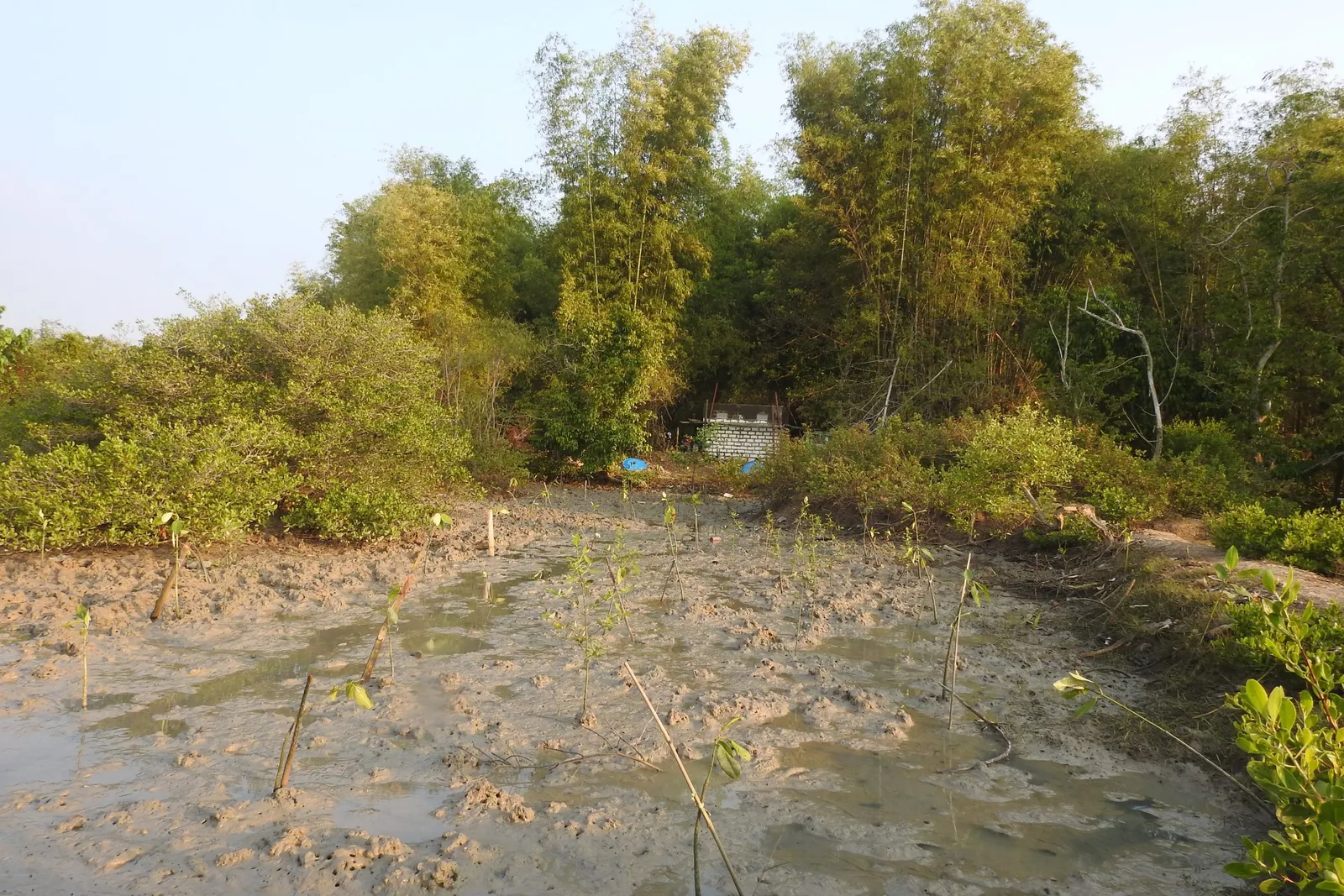
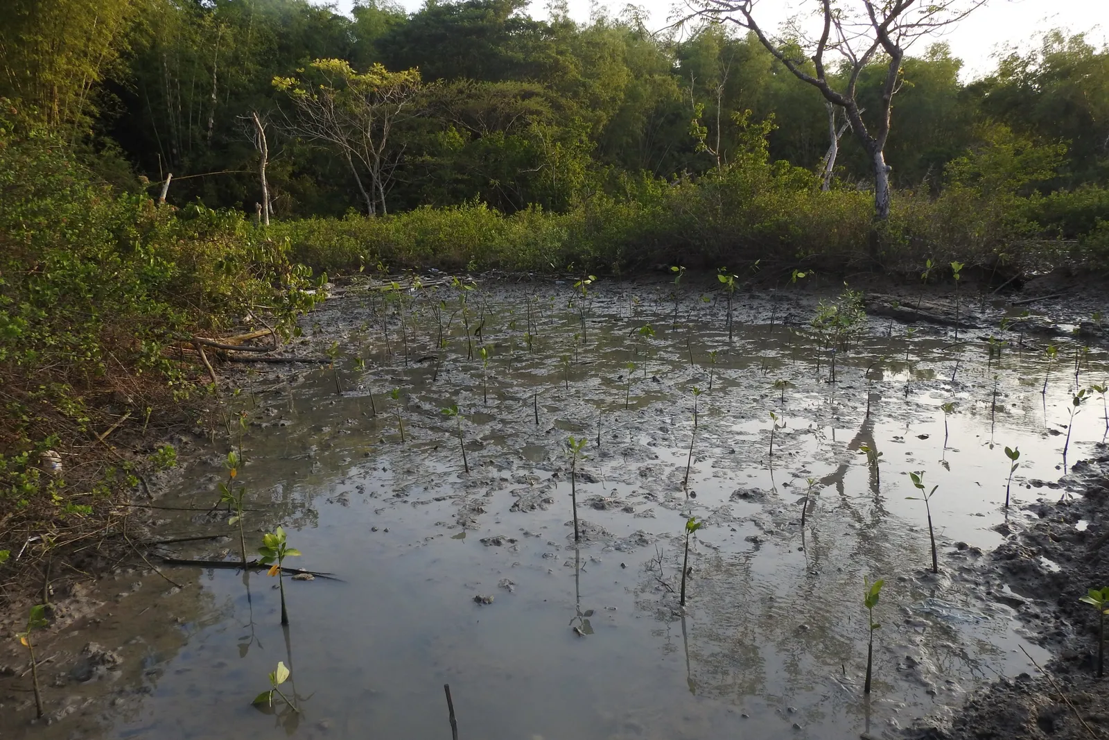
Learning from earlier failures, restoration was redesigned: pioneer species planted in the right places, moving step by step from sheltered to open ground, with local people doing the work.
-
2018
A feasibility study and technical design were prepared. The first 3.23 hectares were planted with the Tanjung Widoro community surveillance group (Pokmaswas), supported by PT Petrokimia Gresik.
-
May 2018
Sixteen Pokmaswas members visited a mangrove ecotourism site in Probolinggo to see what well-managed mangroves can bring.
-
2019
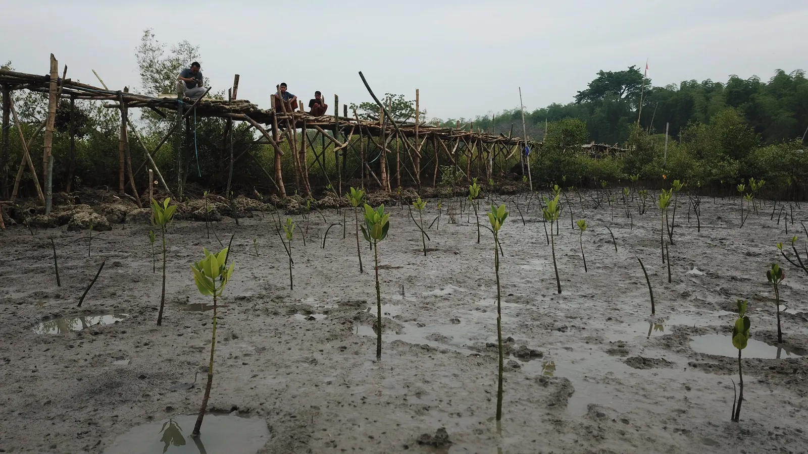
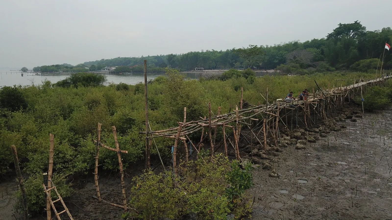
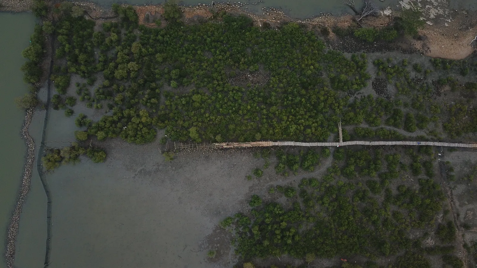
A further 3.28 hectares were planted. Pokmaswas built the first mangrove boardwalk out of local bamboo to monitor the seedlings. Mangrove cover reached 5.01 hectares.
-
2018–2020
About 3,000 visitors from 50 institutions came to learn, including guests from Belgium and Singapore.
-
2020
Local people took over day-to-day management. Yearly bird monitoring began.
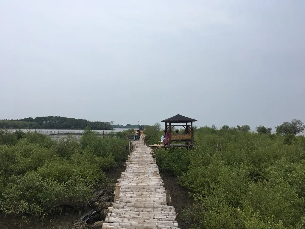
Phase 3 · 2021–today
A place to learn about the coast
The growing forest became a classroom: schools, universities, companies and communities come to plant, camp and meet coastal wildlife.
-
2021
Eco-education upgrades: mangrove boardwalk repairs and information boards. Oyster farming began with 324 old tyres hung on bamboo frames in front of the mangrove boardwalk.
-
2024–2026
Planting resumed at 1 hectare a year on eroded aquaculture ponds to the north.
-
2025
Training for local eco-guides, and ocean literacy activities for children and teachers.
-
2026
Mangrove cover reached 7.34 hectares and 68 bird species were recorded in the survey.
From ponds to forest
The same coast, seen from above
In 2009 the site was still a grid of aquaculture ponds. By 2014 and 2018 the sea had broken through the dykes. Today the restored mangroves cover more than seven hectares.
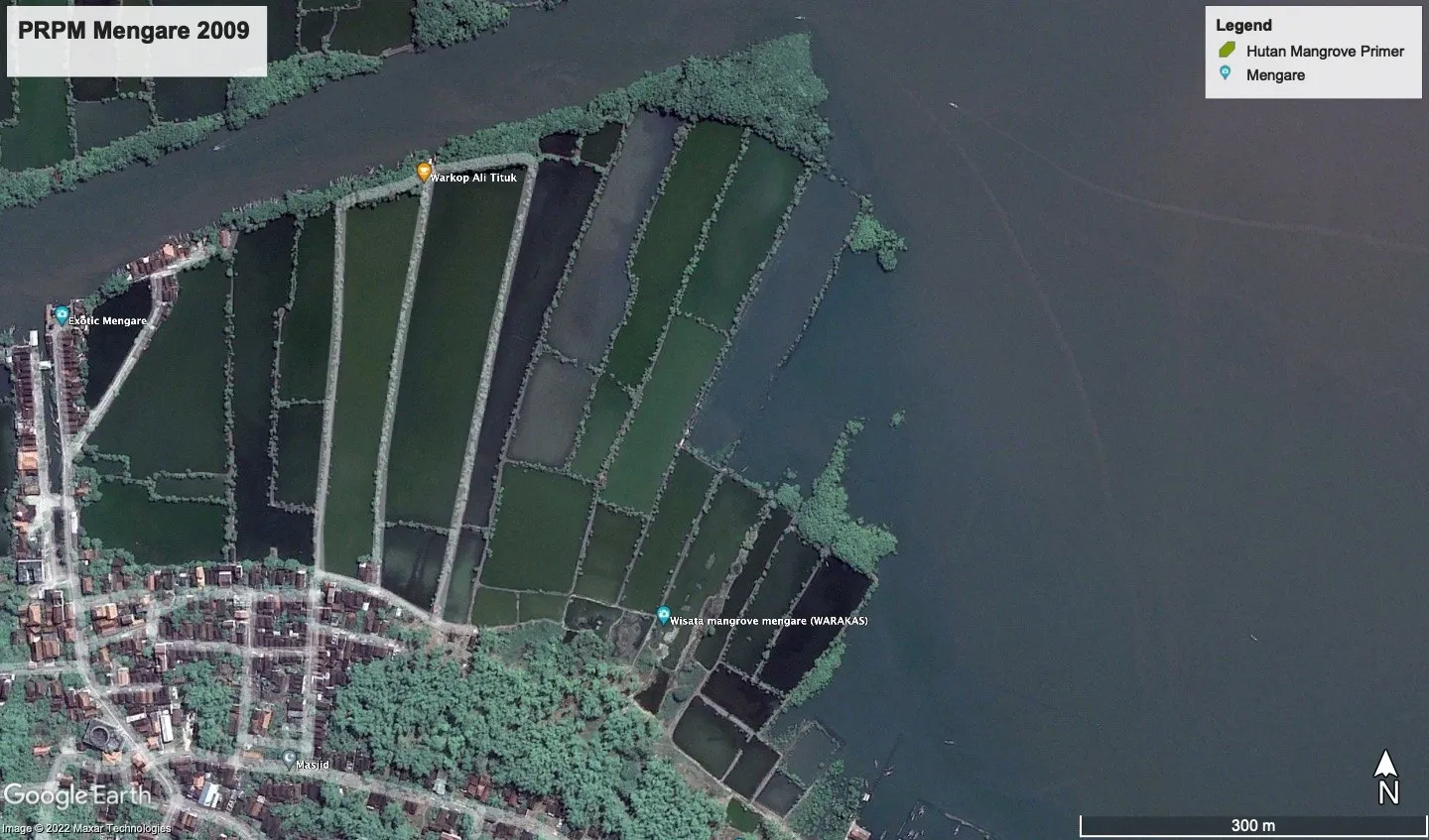
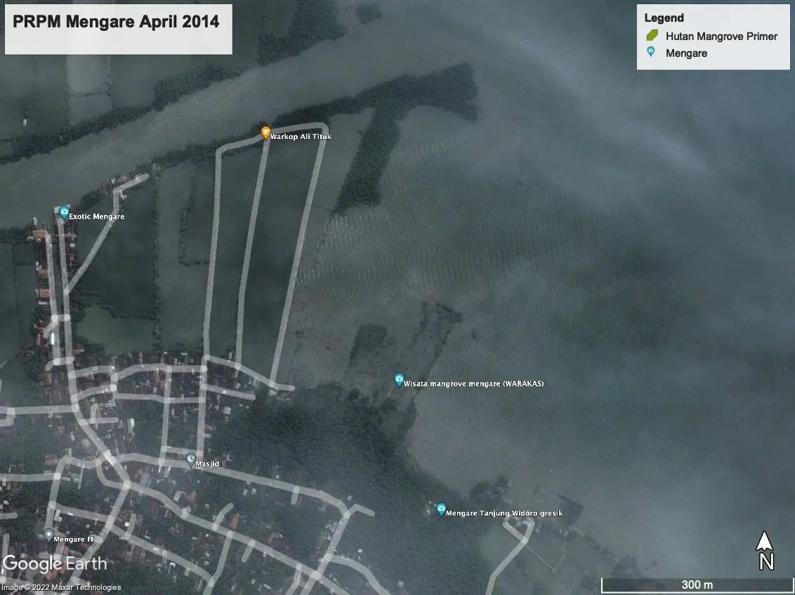
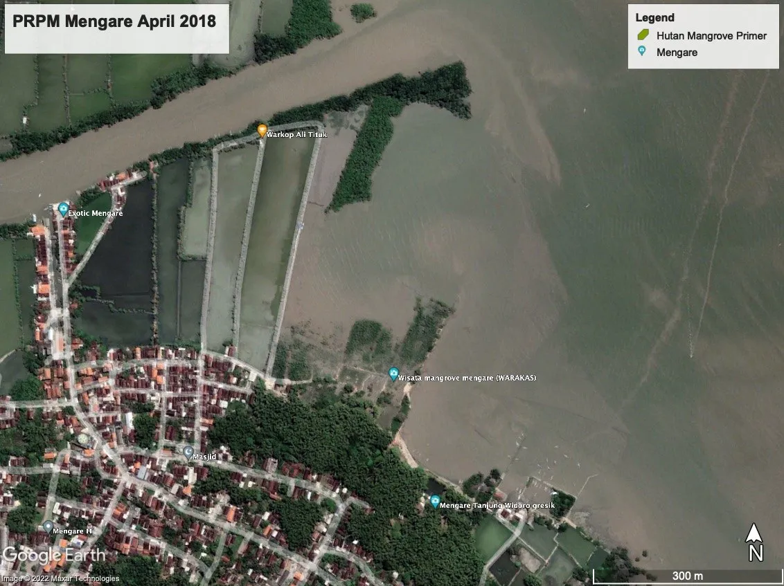
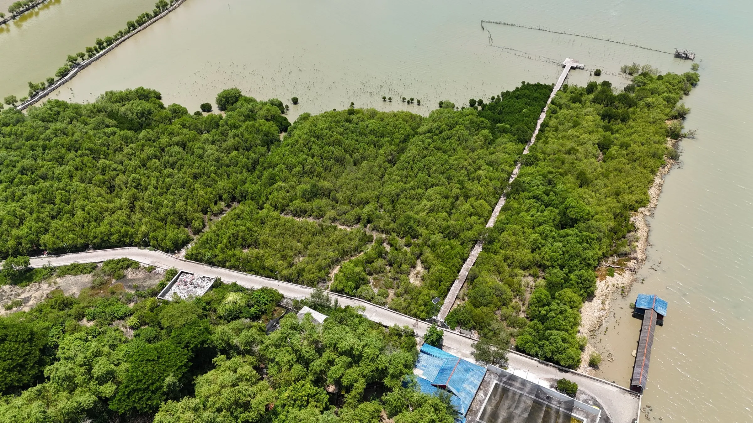
Satellite images 2009–2018: Google Earth.
Video
The story of Mengare
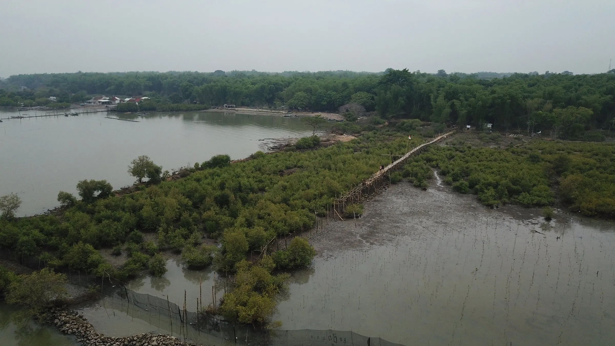
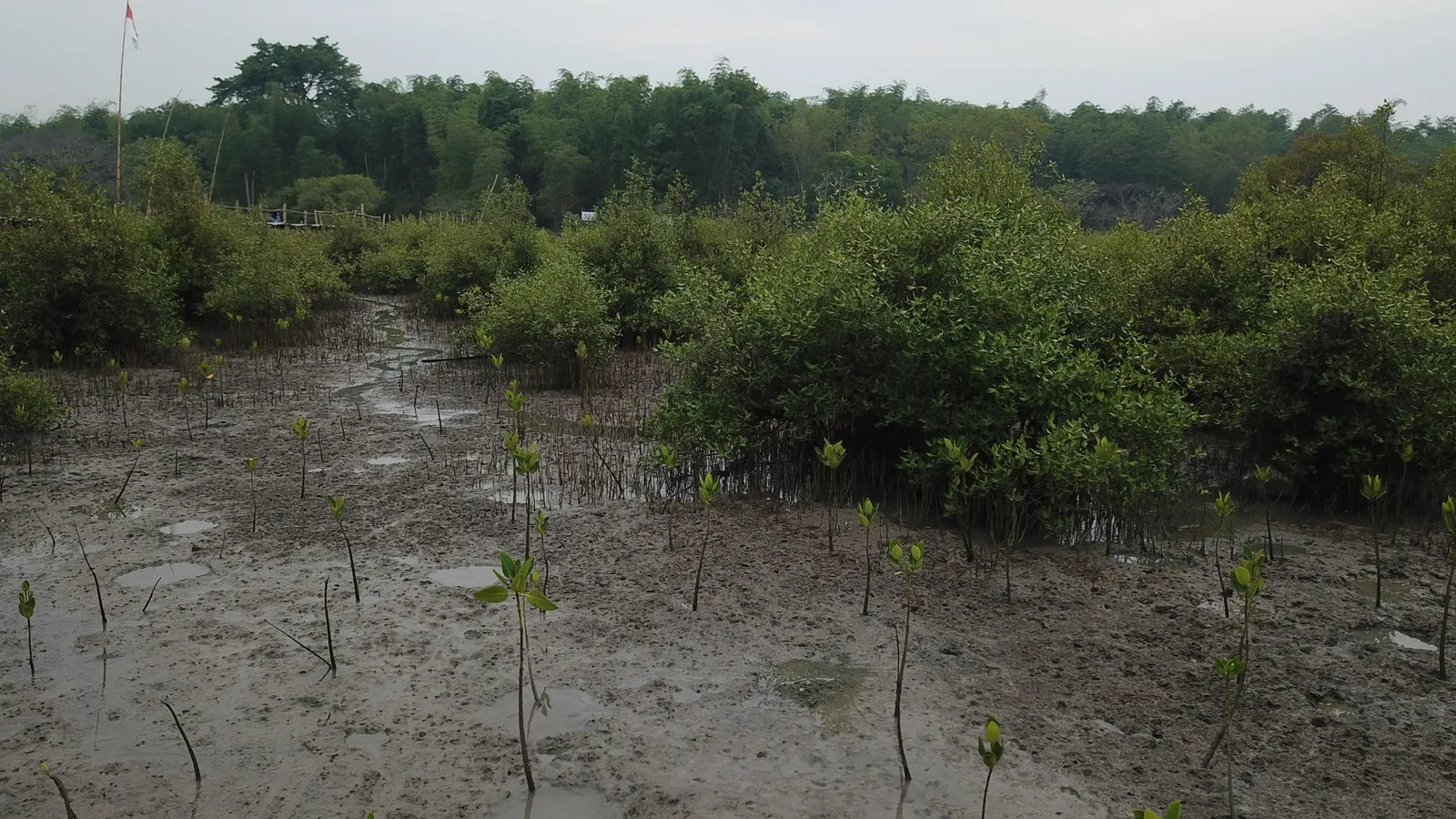
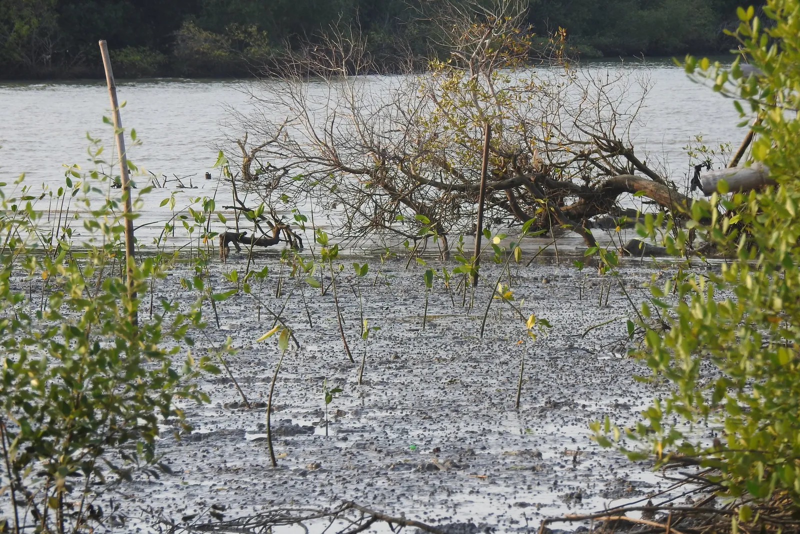
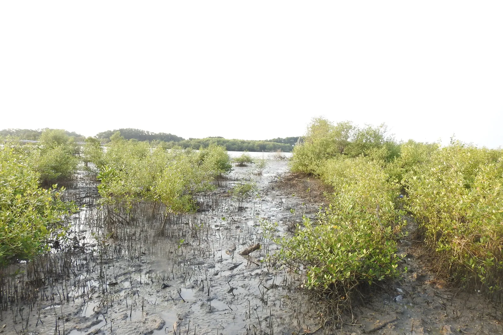
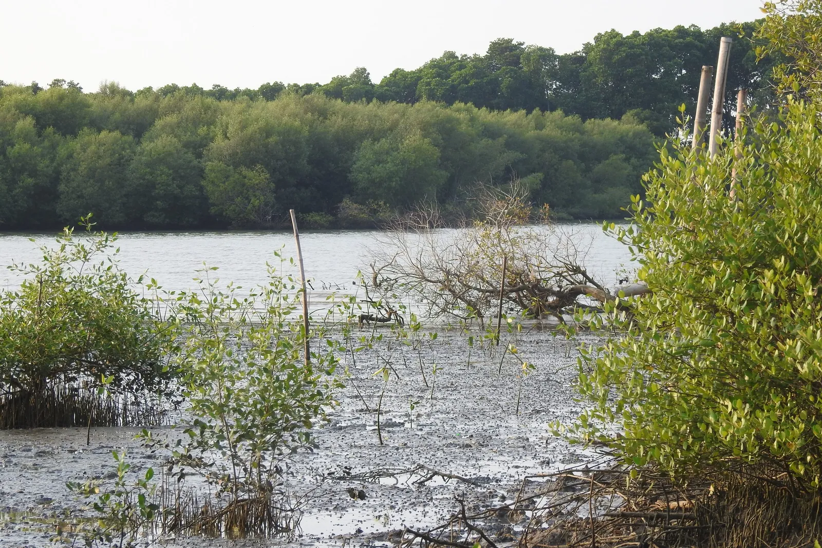
The site in 2018
Impact so far
What has been achieved
Institutions that have studied and learned here
- Institut Teknologi Sepuluh Nopember (ITS)
- IPB University
Schools from around Gresik, universities, companies and communities come to learn, plant and camp. Public events have included mangrove camps, ocean literacy days for children and teachers, and the Mengare Discovery walk.
Be part of the next chapter
Bring your school, campus or family, or come to do research.