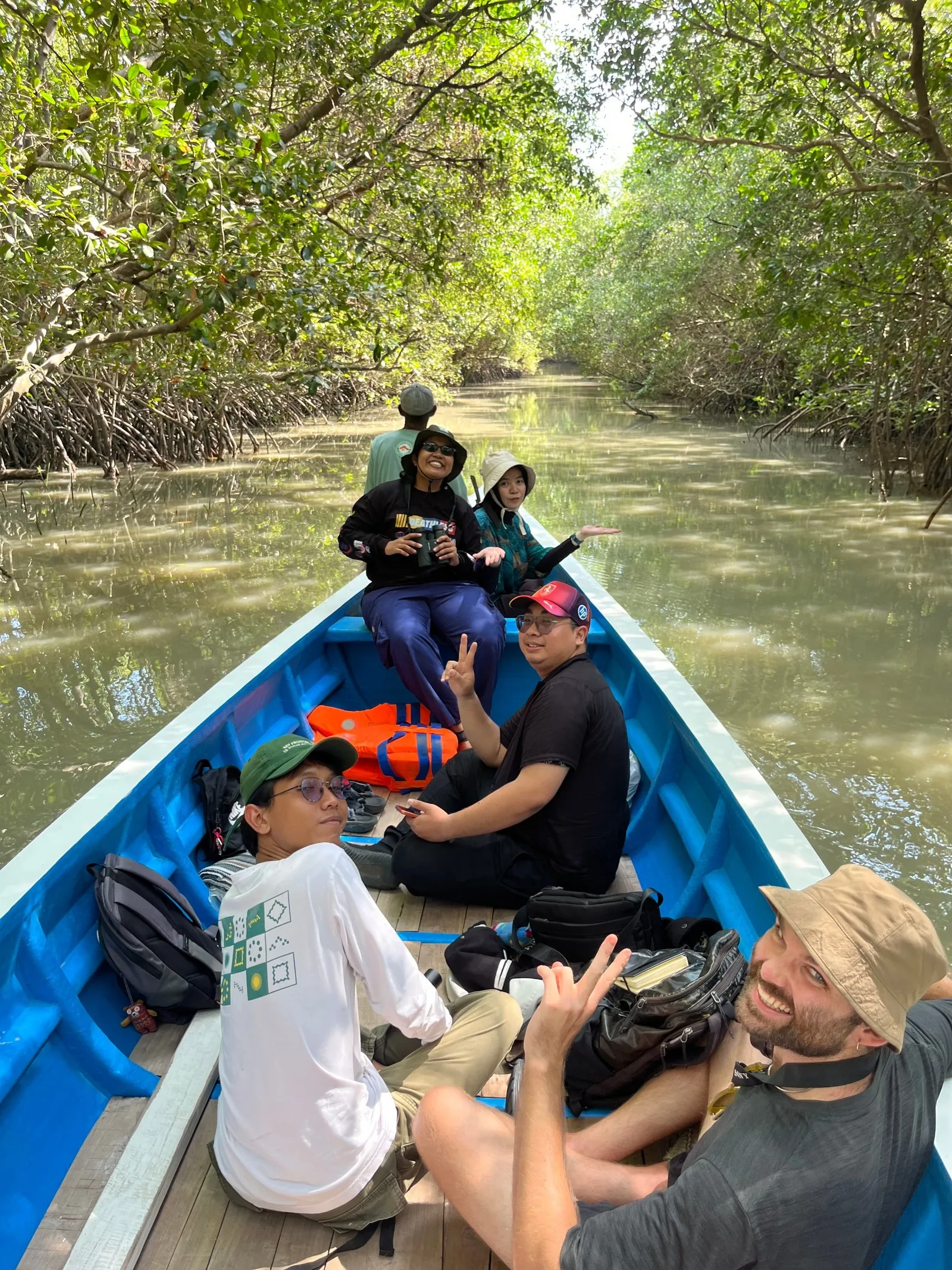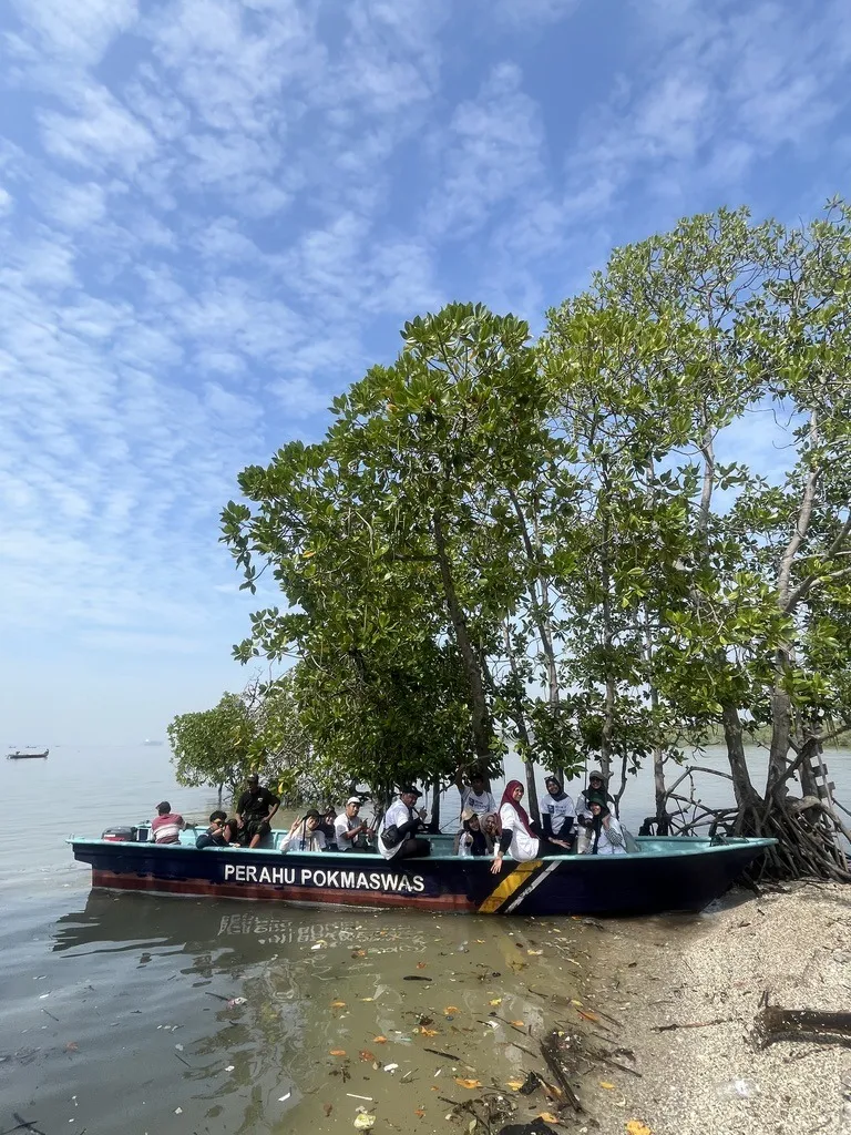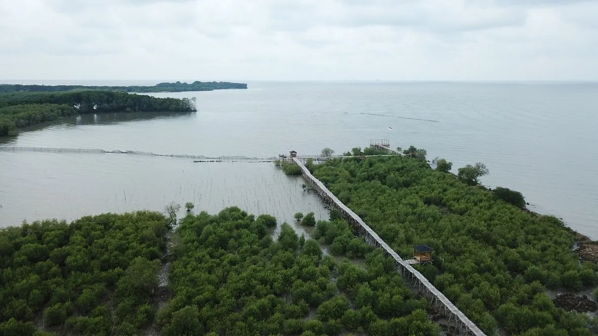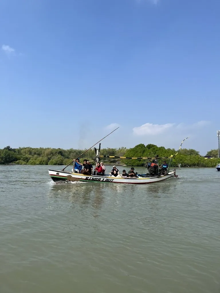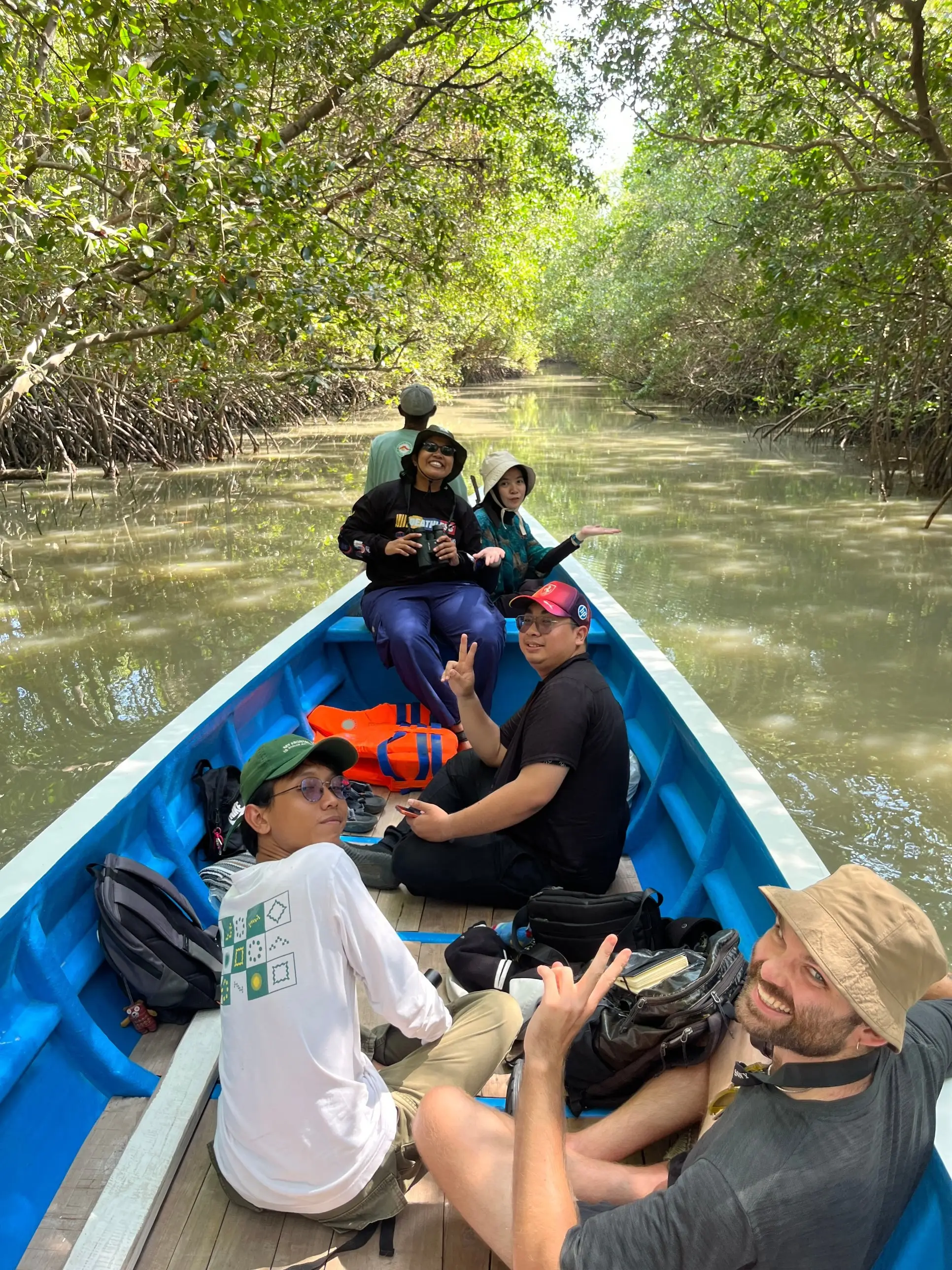
Mengare Discovery takes participants along the Mengare coast by boat with local people. From the water you can see the restored mangroves, the mudflats where shorebirds feed, and how erosion has shaped this coast.
One of the stops is Fort Lodewijk, about 10–15 minutes by boat from PRPM Mengare. It was built in 1808 on the orders of Governor-General Herman Willem Daendels and named after Lodewijk (Louis) Napoleon, then King of Holland. Historical records describe it as the only fort Daendels managed to complete in the archipelago. It guarded the coast at the mouth of the Madura Strait until the Dutch dismantled it in 1857, when the defence centre moved to Surabaya.
The landscape around it has changed a great deal. On a Dutch map from the 1870s, a fort at this spot is labelled Fort Erfprins and stands on an islet about 0.8 km offshore; it is matched to Fort Lodewijk by its position, since no record of a renaming has been found. By the 1920s–1930s aquaculture ponds had been built out to the fort. Erosion is now eating those ponds away, and the ruins stand at the waterline again.
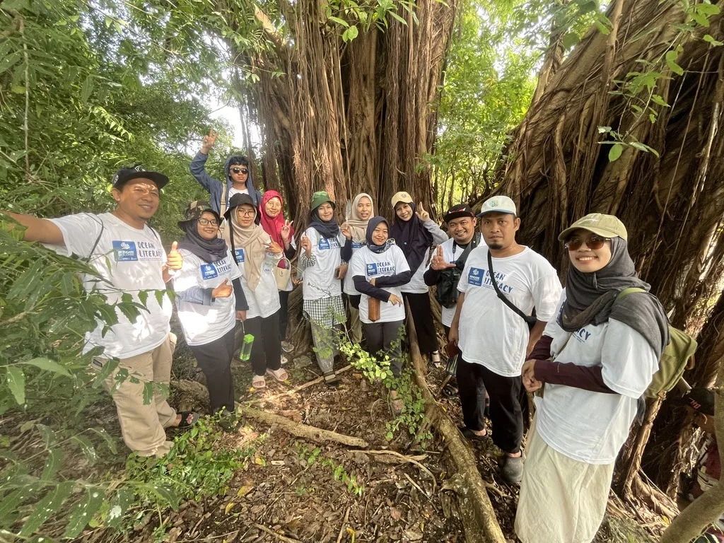
What remains today are foundations, two wells and brick ruins under a banyan tree; part of the site has been lost to erosion. It was listed as a Gresik regency heritage site on 21 October 2020. Boat times and routes follow the tide.
What you will do
- Ride a boat with a local guide
- See the restored mangroves and the eroding shore up close
- Watch shorebirds and waterbirds along the way
- Stop at Fort Lodewijk and hear the story of Daendels’ fort