Coastal heritage
Fort Lodewijk
Daendels had this fort built in 1808 to guard the mouth of the Madura Strait. Only ruins remain, at the edge of the water.
History
The fort was built in 1808 on the orders of Governor-General Herman Willem Daendels and named after Lodewijk (Louis) Napoleon, then King of Holland. Historical records describe it as the only fort Daendels managed to complete in the archipelago. It guarded the coast at the mouth of the Madura Strait until 1857. That year the Dutch dismantled it and moved the defence centre to Surabaya, which ended its use as a fort; the ruins stayed where they were. Construction was supervised by Arnold Adriaan Buyskes, who took command of the naval and land forces in Surabaya on 6 December 1808.
A changing coastline
On a Dutch map from the 1870s, a fort at this spot is labelled Fort Erfprins and stands on an islet about 0.8 km offshore; it is matched to Fort Lodewijk by its position, since no record of a renaming has been found. By the 1920s–1930s aquaculture ponds had been built out to the fort. Erosion is now eating those ponds away, and the ruins stand at the waterline again.
What remains
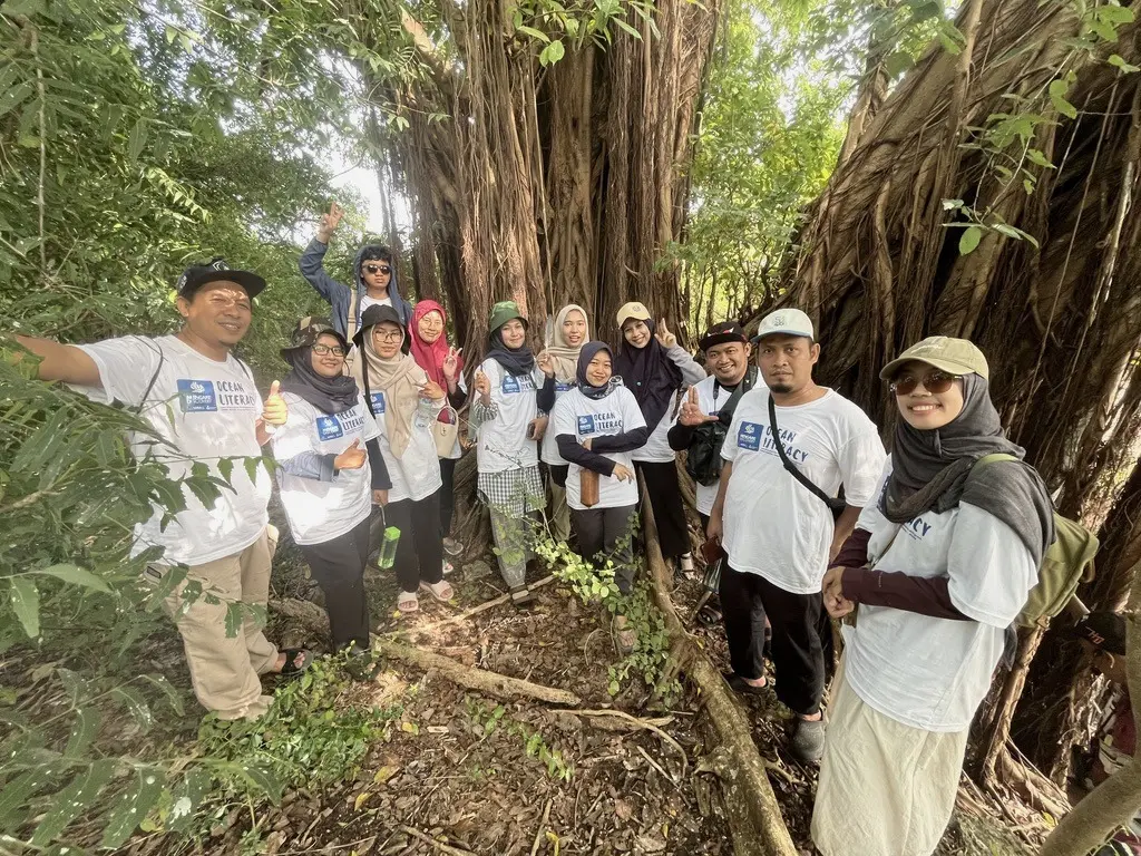
Foundations, two wells and brick ruins under a banyan tree; part of the site has been lost to erosion. It was listed as a Gresik regency heritage site on 21 October 2020.
Boat route
Boats land at point 4, the landing for Fort Lodewijk.
Mengare Discovery boat route (±7.4 km)
- 1PRPM Mengare jetty (start and finish)
- 2Tanjung Widoro fishing port
- 3Mengare Discovery landing
- 4Boat landing for Fort Lodewijk
- Mengare Discovery beach
- Fort Lodewijk area
Route from field mapping; the actual course follows the tide. Base map: Esri World Imagery.
The fort and the new restoration site
The 2026 mangrove restoration site lies next to the fort area. Restoring the eroded ponds here also helps protect the coastline around the heritage site. About the restoration →
2026 restoration target area
Target area: 5.4 ha
Area engineered into suitable habitat for natural mangrove regeneration; not all of it is planted.
Fort Lodewijk area
Area: 4.8 ha
The area of the Daendels-era fort (1808) near the new restoration site. Shown for reference; not part of the restoration works.
Positions from field mapping; areas computed from the mapped boundaries. Base map: Esri World Imagery.

References
- Blok, P.J. & Molhuysen, P.C. (1911). Nieuw Nederlandsch Biografisch Woordenboek, deel 1, hlm. 528 (lema Buyskes). Leiden: Sijthoff.
- Abbas, N. (2002). Bekas benteng-benteng Belanda di Jawa: penggunaan dan "penyalahgunaannya". Berkala Arkeologi 22(1): 96–105.
- Farhana, S., Situmorang, G.A., Siregar, F.N. & Syaifullah, H. (2024). Warisan peninggalan Herman Willem Daendels di Pulau Jawa. AR RUMMAN: Journal of Education and Learning Evaluation 1(2).